Missing Piece · Map quiz · Series
Missing Piece #11: name the country in 3 clues
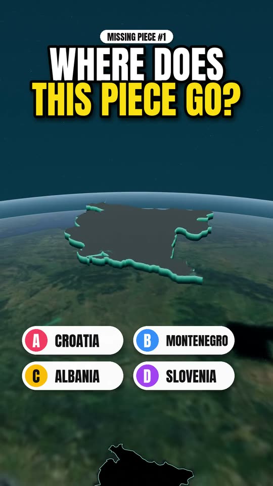
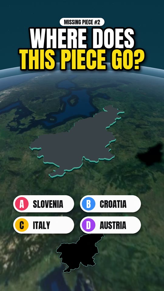
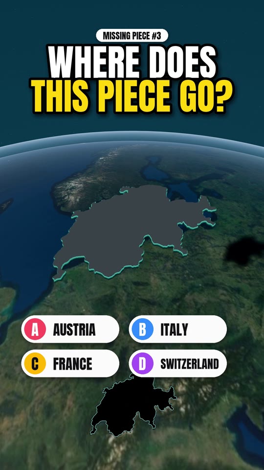
Three clues, four options, one piece of the world: half of it is covered by forest, Skype was built here, and it has over 2,000 islands in the Baltic. Watch the film and lock in your answer before the piece drops. The answer, and how to actually go there, is below. Spoilers from here on.
The places in this film
- 1
The answer: Estonia
Estonia is the northernmost of the three Baltic states, across the water from Finland. About half the country is forest, and much of the rest is bog, lake and farmland. The software behind Skype was written by Estonian engineers in Tallinn, and the country is known for running most of its public services online. Its coast is broken into more than 2,000 islands, most of them small and uninhabited.
- 2
Tallinn
The capital has one of the best preserved medieval old towns in northern Europe, with walls, towers and a hilltop upper town.
- 3
Saaremaa
The largest island, reached by ferry. It has a moated castle at Kuressaare, wooden windmills and a lighthouse at the end of a long peninsula.
- 4
Bogs and national parks
Boardwalk trails cross raised bogs in Lahemaa and Soomaa national parks, an easy day out from Tallinn.
Plan it
- Best time
- May to September. Days are very long around midsummer in June. Winter is cold, dark and snowy, with Christmas markets in Tallinn.
- How long
- Two to three days for Tallinn. A week adds Saaremaa and a national park.
- Getting around
- Tallinn's old town is walkable. A rental car or bus reaches the islands and parks, with car ferries to Saaremaa.
Good to know
- Ferries link Tallinn and Helsinki in about two hours, so the two capitals combine well.
- Book the island ferry ahead on summer weekends if you take a car.
- Bring insect repellent for the bogs and forests in summer.
Frequently asked
What is Missing Piece? +
Missing Piece is a short 3D map quiz by Drift Vistas. A country is lifted out of the globe, you get three clues and four options, and the piece drops back into place to reveal the answer. Then the film cuts to real footage of the country.
Is the map real? +
Yes. The globe and terrain are built from Sentinel-2 satellite imagery and Copernicus elevation data, with borders from Natural Earth. The height of the mountains is exaggerated so the relief reads on a phone screen, but the shapes are the real ones.
Where can I watch the next one? +
New episodes go up on YouTube, Instagram, Facebook and TikTok at @driftvistas. Every episode also gets a page here with the answer and a short guide to visiting the country.