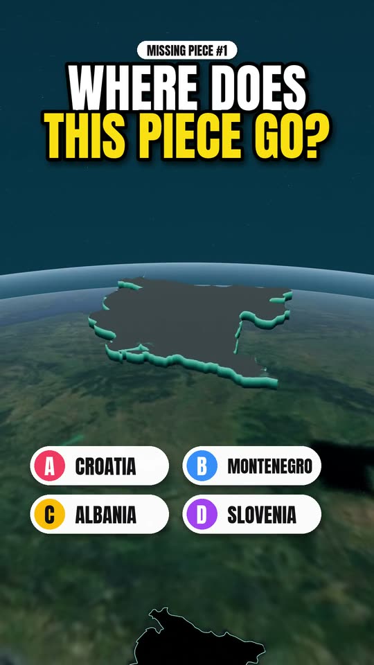
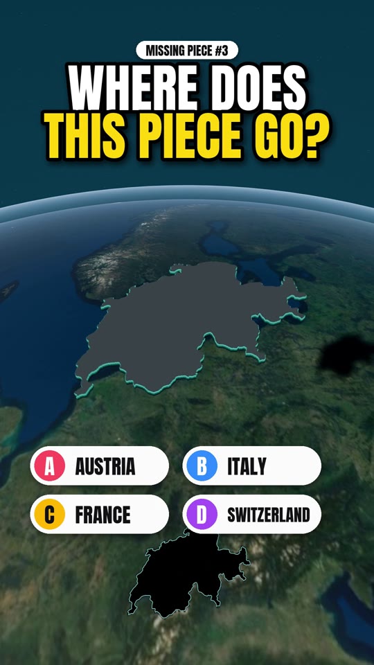
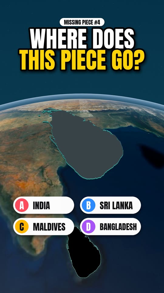
Missing Piece · Map quiz · Series
Missing Piece #2: name the country in 3 clues
Three clues, four options, one piece of the world: a lake with an island church, a coastline of only about 47 km, and more than half the country is forest. Watch the film and lock in your answer before the piece drops. The answer, and how to actually go there, is below. Spoilers from here on.
The places in this film
- 1
The answer: Slovenia
The lake is Bled, where a small church sits on the only natural island in the country, under a castle on a cliff. The short coastline squeezes in between Italy and Croatia and holds the Venetian-era town of Piran. And well over half of Slovenia is forest, which is why it looks so green from above. The Julian Alps, the capital and the sea are all within about two hours of each other.
- 2
Lake Bled
Row or take a traditional pletna boat to the island, then walk the lakeside path for the view back to the castle. Sunrise is the quiet hour.
- 3
Lake Bohinj and the Julian Alps
Half an hour past Bled, bigger, wilder and far less busy. The base for walks and the cable car up to Vogel.
- 4
Ljubljana and Piran
A small riverside capital that works as a base for the whole country, and a compact seaside town for the last night.
Plan it
- Best time
- May to September for lakes and hiking. Late September and October for autumn colour with fewer people.
- How long
- Four or five days covers Bled, Bohinj, Ljubljana and the coast without rushing.
- Getting around
- A car makes the lakes and valleys easy, and distances are short. Buses also run from Ljubljana to Bled and the coast.
Good to know
- You need a motorway vignette for a rental car. Check it is included.
- Stay in Bled for one night and Bohinj for two, not the other way round.
- The Vintgar Gorge near Bled works best at opening time.
Frequently asked
What is Missing Piece? +
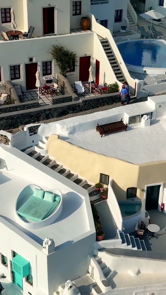
Missing Piece is a short 3D map quiz by Drift Vistas. A country is lifted out of the globe, you get three clues and four options, and the piece drops back into place to reveal the answer. Then the film cuts to real footage of the country.
Is the map real? +
Yes. The globe and terrain are built from Sentinel-2 satellite imagery and Copernicus elevation data, with borders from Natural Earth. The height of the mountains is exaggerated so the relief reads on a phone screen, but the shapes are the real ones.
Where can I watch the next one? +
New episodes go up on YouTube, Instagram, Facebook and TikTok at @driftvistas. Every episode also gets a page here with the answer and a short guide to visiting the country.