Missing Piece · Map quiz · Series
Missing Piece #1: name the country in 3 clues
Three clues, four options, one piece of the world: a fjord on the mediterranean, mountains over 2,500 m, and europe's deepest canyon. Watch the film and lock in your answer before the piece drops. The answer, and how to actually go there, is below. Spoilers from here on.
The places in this film
- 1
The answer: Montenegro
The fjord is the Bay of Kotor, a drowned river canyon that winds inland from the Adriatic between steep limestone walls. The mountains are the Durmitor massif, where Bobotov Kuk tops 2,500 metres. The canyon is the Tara, the deepest in Europe, crossed by the arched Đurđevića Tara Bridge. All three sit in a country you can drive across in about four hours.
- 2
Bay of Kotor
A walled medieval town at the end of the bay, with a fortress trail up the cliff behind it. Go up early or late, when the cruise passengers are back on board.
- 3
Durmitor and the Tara
Black Lake is an easy loop walk from Žabljak, and rafting trips run through the canyon in summer. It is cool up here when the coast is hot.
- 4
Sveti Stefan and Budva
The island village joined to the shore by a strip of sand, and the busiest beach town on the coast. Best seen from the road above.
Plan it
- Best time
- Mid-May to mid-June and September. The sea is warm, the mountain roads are open and the crowds are a fraction of July and August.
- How long
- Five days covers the bay, the coast and one night in the mountains. A week lets you slow down.
- Getting around
- Rent a car. Buses link the coastal towns, but the mountains need your own wheels. Tivat airport is about fifteen minutes from Kotor.
Good to know
- Stay around the bay rather than in Budva if you want quiet evenings.
- Old-town parking is outside the walls. Arrive before mid-morning in summer.
- The mountain road north is slow and winding. Allow a full half-day each way.
Frequently asked
What is Missing Piece? +
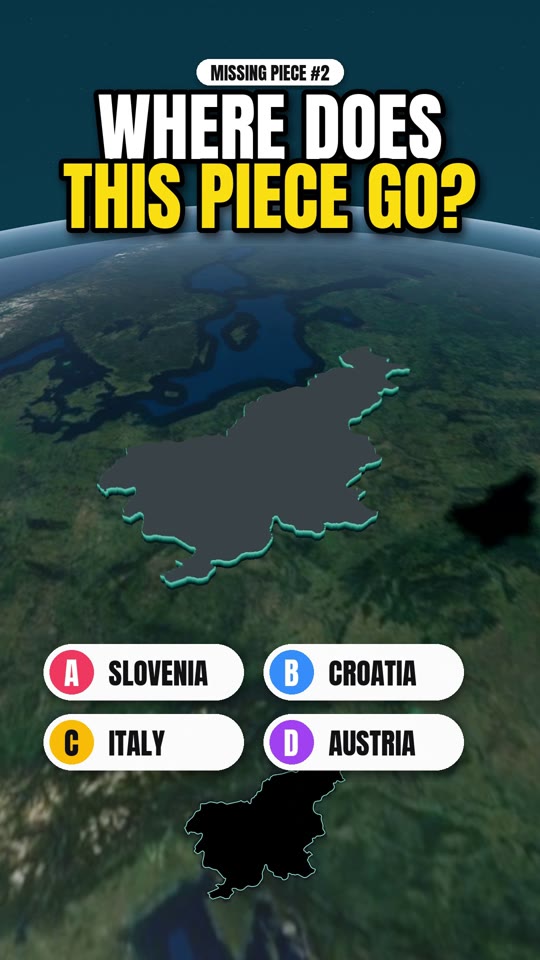
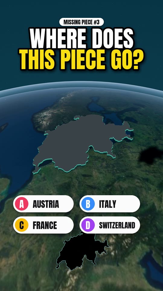
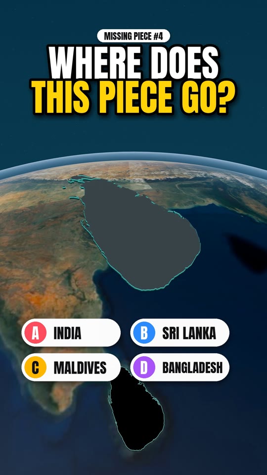
Missing Piece is a short 3D map quiz by Drift Vistas. A country is lifted out of the globe, you get three clues and four options, and the piece drops back into place to reveal the answer. Then the film cuts to real footage of the country.
Is the map real? +
Yes. The globe and terrain are built from Sentinel-2 satellite imagery and Copernicus elevation data, with borders from Natural Earth. The height of the mountains is exaggerated so the relief reads on a phone screen, but the shapes are the real ones.
Where can I watch the next one? +
New episodes go up on YouTube, Instagram, Facebook and TikTok at @driftvistas. Every episode also gets a page here with the answer and a short guide to visiting the country.